New Technology
Opportunities.
Opportunities.
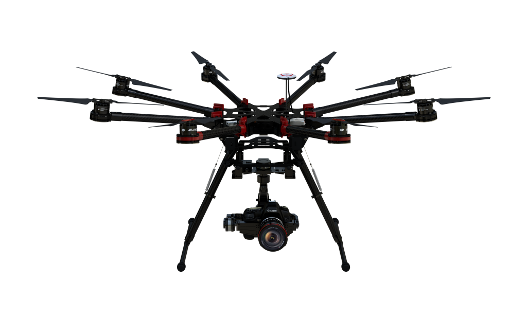
With advancements in new drone technology and functional capabilities happening so regularly we maintain a close eye on emerging trends in the industry before we make decisions on how to creatively approach each project. This will ensure that we are capitalizing on the latest technology innovations and trends.
Want to know how technology can help you?
– NDVI
Multispectral
Sensing.
Sensing.
With advancements in new drone technology and functional capabilities happening so regularly we maintain a close eye on emerging trends in the industry before we make decisions on how to creatively approach each project. This will ensure that we are capitalizing on the latest technology innovations and trends.
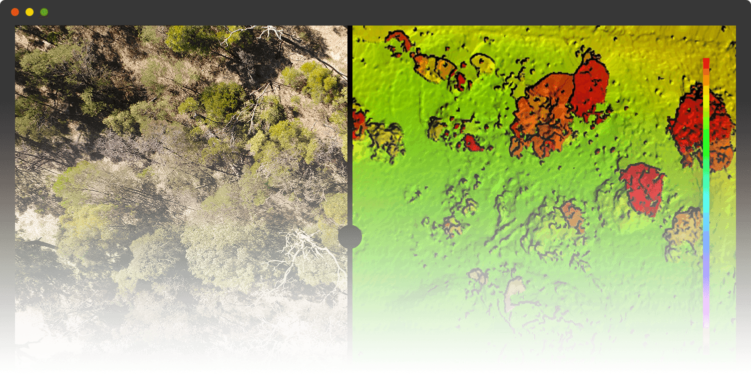
Napier Park – Victoria
Multispectral Sensing (NVDI)
– THERMAL
Heat
Mapping.
Mapping.
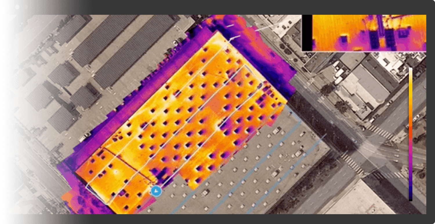
High-resolution thermal cameras make it possible to see beyond the visible spectrum and detect heat signatures. Industries like construction, agriculture, solar, and roofing use thermal imagery to spot problems unseen to the naked eye.
Monash University – Clayton Campus
2D Thermal Heating Mapping (Thermal)
– ANALYTICS
Data
Mapping.
Mapping.
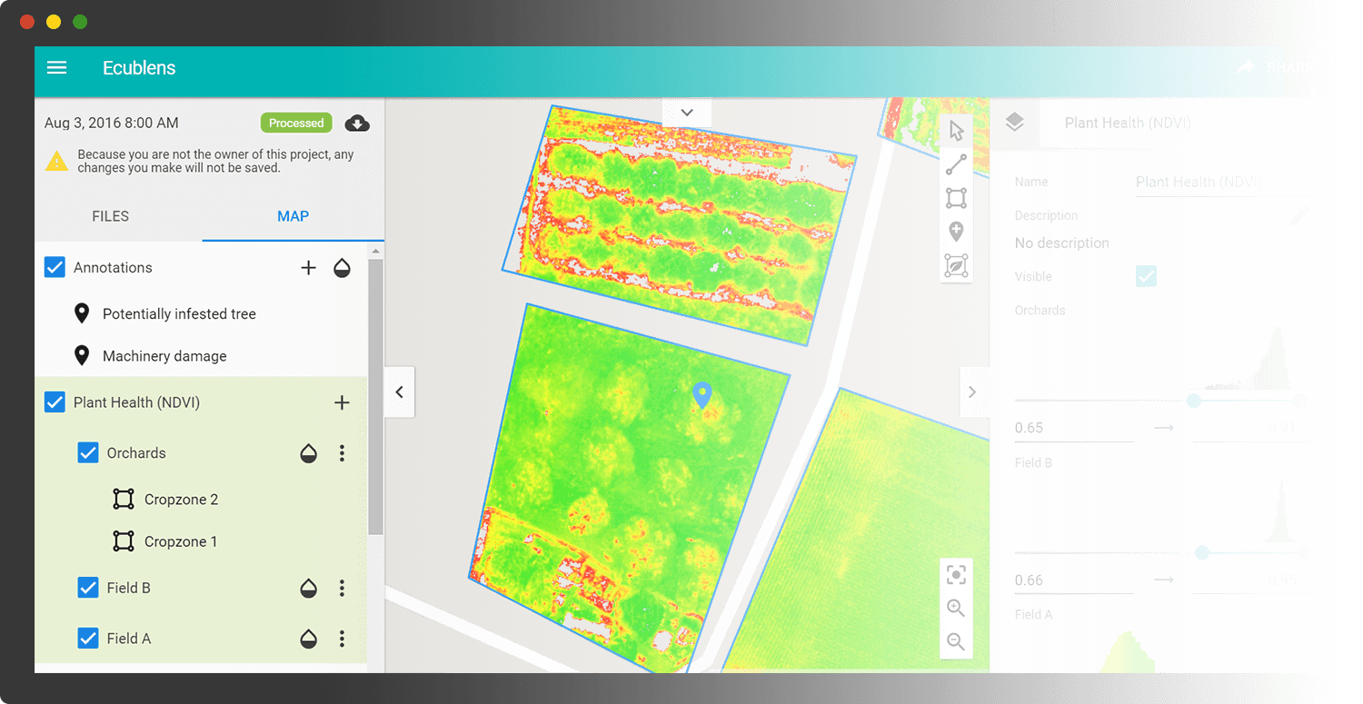
Software solutions are market-proven and ready-to-deploy. These full, end-to-end offerings cover the entire data collection process—from flight planning to the generation of accurate outputs and expert support.
– 3D ANALYSIS
Spatial
Mapping.
Mapping.
A professional drone is able to collect all the data required to generate a highly accurate 3D model. It can collect this data more quickly than using terrestrial scanning equipment and is the ideal tool for 3D mapping buildings and geomorphological features.
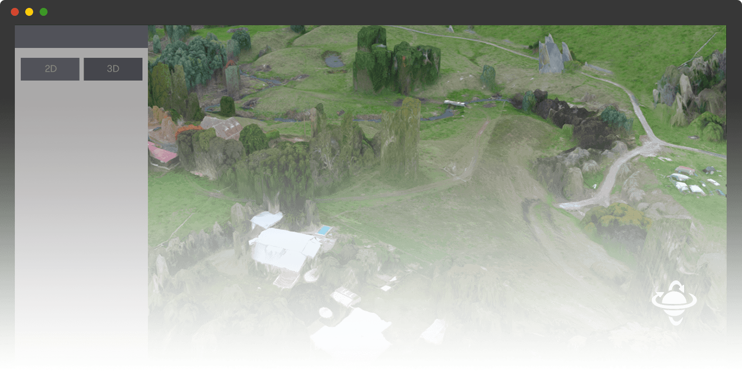
Loch River – Victoria
Revegetation Mapping (3D Model)
