Aerial
services.
services.
Offering rapid deployment and execution, at a fraction of the cost of hiring a full-size helicopter, our remotely piloted systems can operate in places otherwise inaccessible. Our cameras and sensors are stabilised using the latest brushless gimbal technology, can be controlled from the ground and feature a live video feed.
Got a project in mind?
CASA Certified UOC. 0799
OUR AERIAL CAPABILITY
- Aerial Photography
- Aerial Video
- Aerial Inspections
- Aerial Panoramas
- Animal Surveying
- Construction Update
- Thermal Imaging
- Vegetation Analysis (NDVI)
- 3D Mapping

School of Earth, Atmosphere and Environment
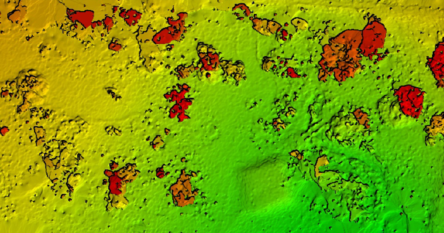
NDVI Vegetation Analysis
Napier Park
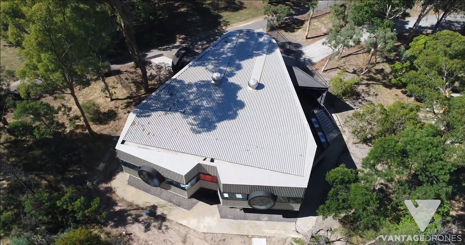
Biological Sciences Teaching Facility
Aerial Video Analysis
Monash University
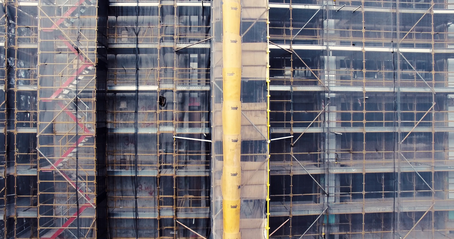
Building Revitalization
Asset Inspection
Monash University
Jock Marshall Reserve Nature Walk
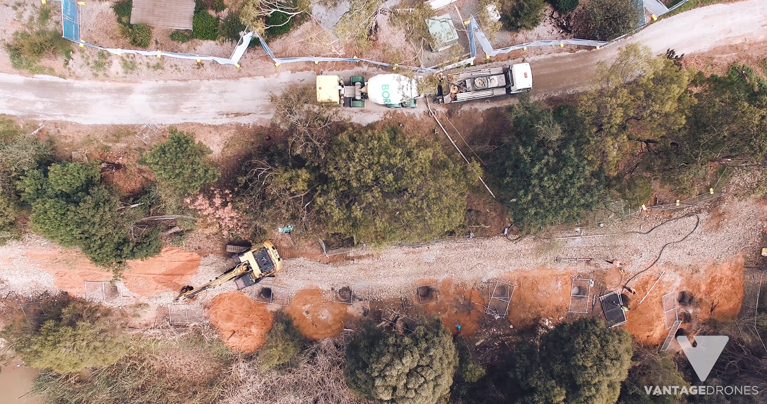
Construction Progress updates
Monash University
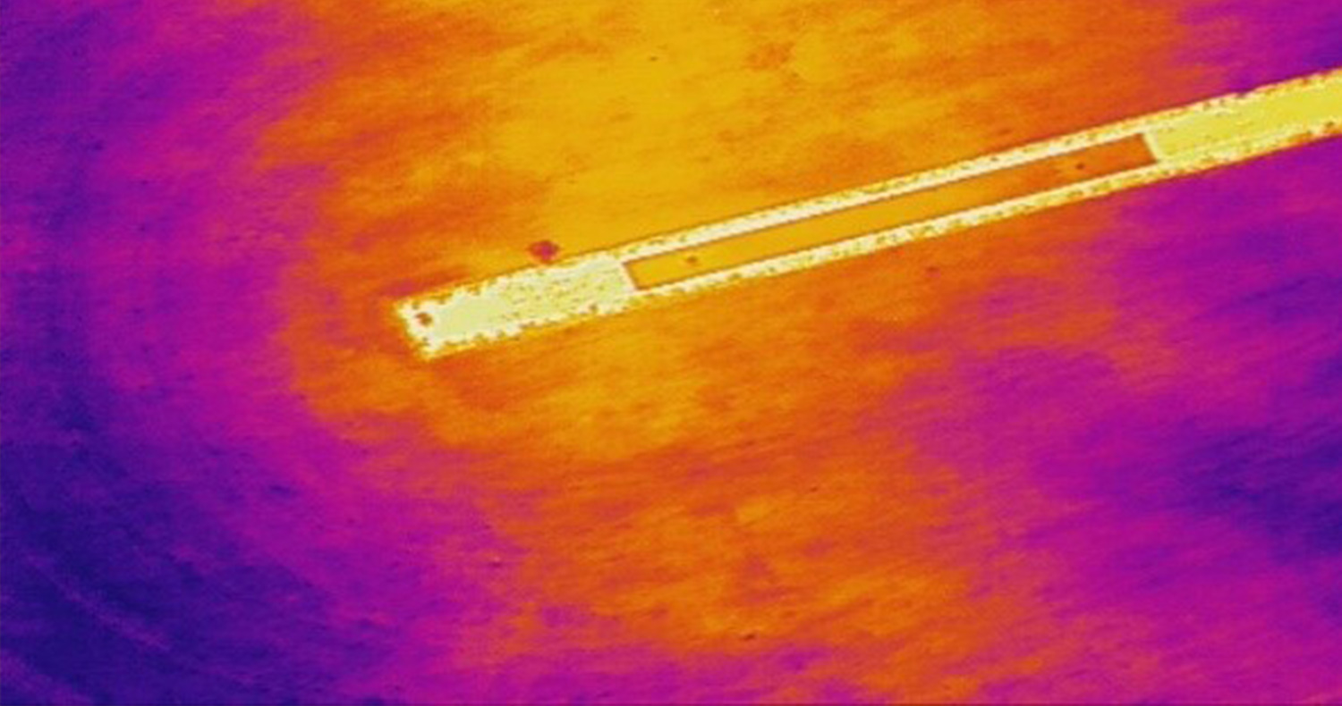
Irrigation Analysis
Thermal Inspection
North Balwyn CC

Revegetation Program
3D Mapping
Melbourne Water